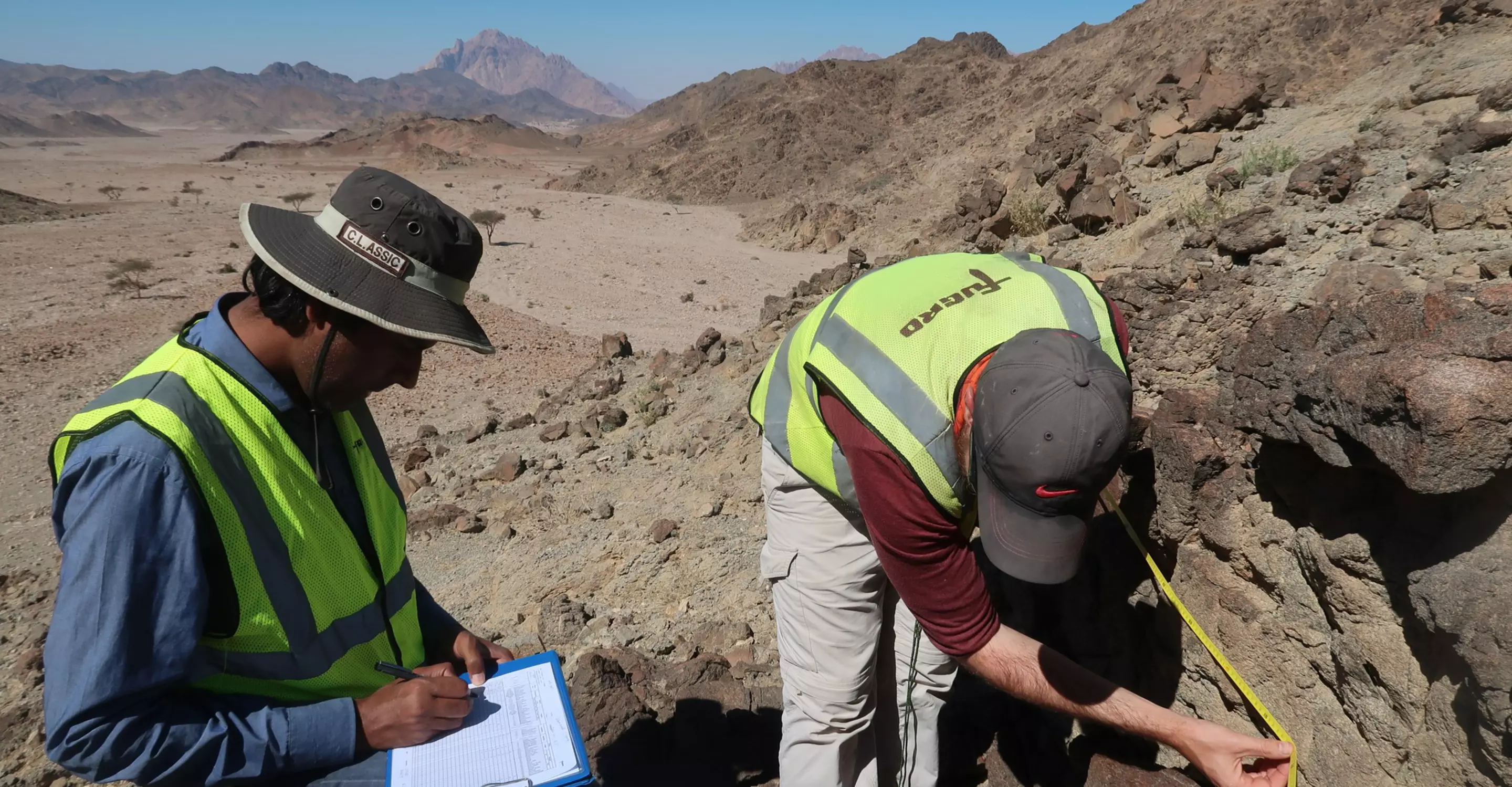
Geological and geophysical surveys
Jump to
Expertise
No matter your project or industry, understanding the Earth is key. Why? Because building sound structures is reliant on full knowledge of the ground conditions at your site. That's why geological and geophysical surveys, including ground investigation and soil site investigation, are key. From mapping to modelling, onshore to offshore, we capture all the information you need about your project site. This way, we help you reduce risks, stay on schedule and within budget. We customise our approach and collaborate with you to ensure you understand the conditions at your site. Our team of experienced geotechnical engineers and earth scientists specialises in ground engineering and offers comprehensive geophysical survey services and site characterisation to ensure the success of your project.

Rod Eddies
Global lead - Geological and geophysical surveys
What is a geophysical survey?
Geophysical surveys enable us to see beneath the soil and assess potential risks in the desired construction area. Geophysical methods utilise advanced sensors, these methods accurately measure the physical properties both on land and underwater.
What is a seismic survey?
A seismic survey is one form of geophysical survey investigating the earth's structures. Seismic surveys are conducted by developing an array of energy sources and a variety of sensors or receivers in an area of interest. The seismic waves go through the ground and try to deduce the elastic properties of materials by measuring their response to elastic disturbances called seismic (or elastic) waves.
How long does a typical shallow geophysics survey take?
Most surveys take 5-20 minutes to complete. The survey will not be disruptive to your site and we work to be as non-intrusive as possible.
What type of geological and geophysical survey do we offer?
Gravity survey
Resistivity survey
Ground penetrating radar survey
Geophysics survey

Case study
Potential quakes, potential power plant risks: seismic reflection surveys
When a newly recognised underwater fault was discovered near a California power plant, Fugro was flown in. Our task: discover what kind of quakes and other motions it could generate. Because those could pose a real risk to the power plant.
Case study
Lakebed soil analysis for 100,000 floating solar panels
How do you determine the best location for the anchor rods of 100,000 floating solar panels? In a sand excavation lake? While protecting its flora and fauna? A challenge we were happy to take on.
Case study
Stopping the leak: how we helped bolster Burkina Faso’s most important dam
117,200 people in Burkina Faso rely on the Comoé Dam. When erosive leaks threatened it, we investigated and created a thorough risk map to help bolster the dam.
Case study
Fugro’s ‘Triple A’ approach reduces mining tunnel risk
Using light-footprint, wireless seismic acquisition technology, we completed a site characterisation and geohazard assessment for a mineral transport tunnel at the world’s largest high-grade polyhalite development.
1 / 4
Related news


Related publications
All publicationsContact us
Get in touch for geological and geophysical surveys

Rod Eddies
Global lead - Geological and geophysical surveys

David Valintine
Regional lead Americas - Geological and geophysical surveys

Dave Kilcoyne
Regional lead Europe & Africa - Geological and geophysical surveys

Emre Tokat
Regional lead Middle East & India - Geological and geophysical surveys

Come join us
Exciting challenges. Unforgettable experiences. Work that helps create a more safe and liveable world. These are a few of the things you’ll find at Fugro. Will you join our global team?